We feel involved in nature, especially in the city. We are happy to share our knowledge with everyone, just like the aforementioned projects, and in the public interest, just like the government. Education comes first.
open data = freely available and reusable data
See also maps for entire municipalities
Leiden: Ankerpark / De Burcht / Dichtersbuurt / Groenesteeg / Hortus Botanicus / Huigpark / LUMC / Okkerheide / Plantsoen / Rembrandtpark / Tuinvereniging Ons Buiten / vd Werfpark
Voorschoten: Berbice / Mayor Berkhoutpark Leiderdorp: Houtkamp Rotterdam: Blijdorp
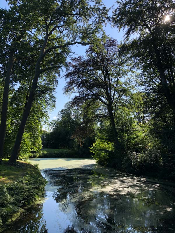
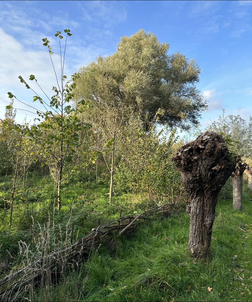
Historic Cemetery Groenesteeg in Leiden
Mayor Berkhoutpark in Voorschoten
Countryside estate Berbice in Voorschoten
Accessible only to members of Zuid-Hollands Landschap, upon presentation of a pass.
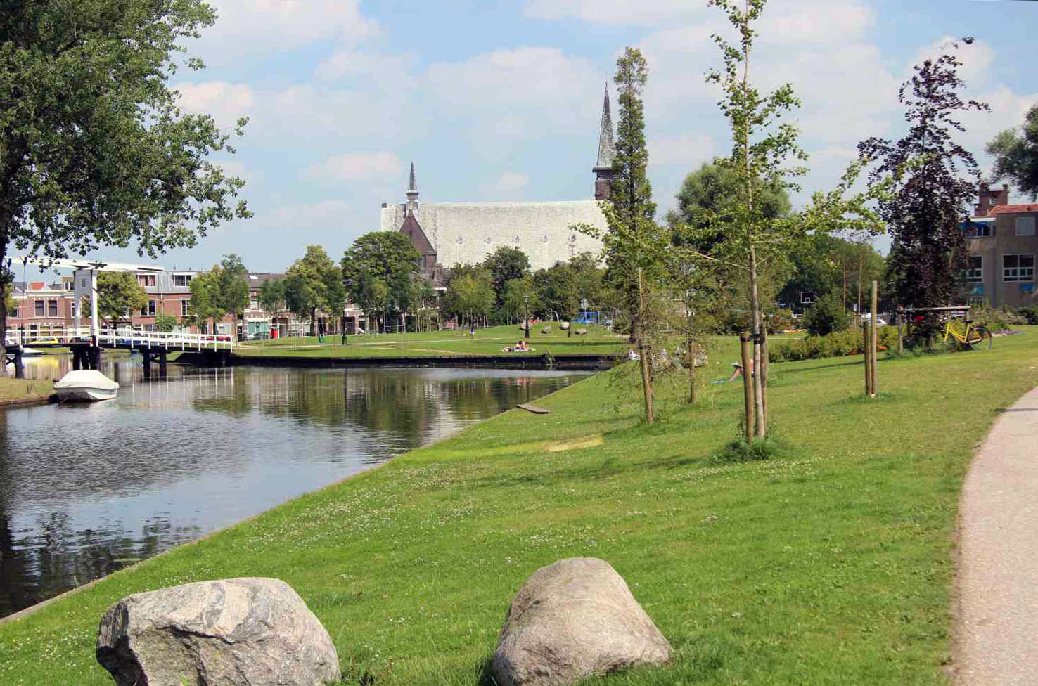
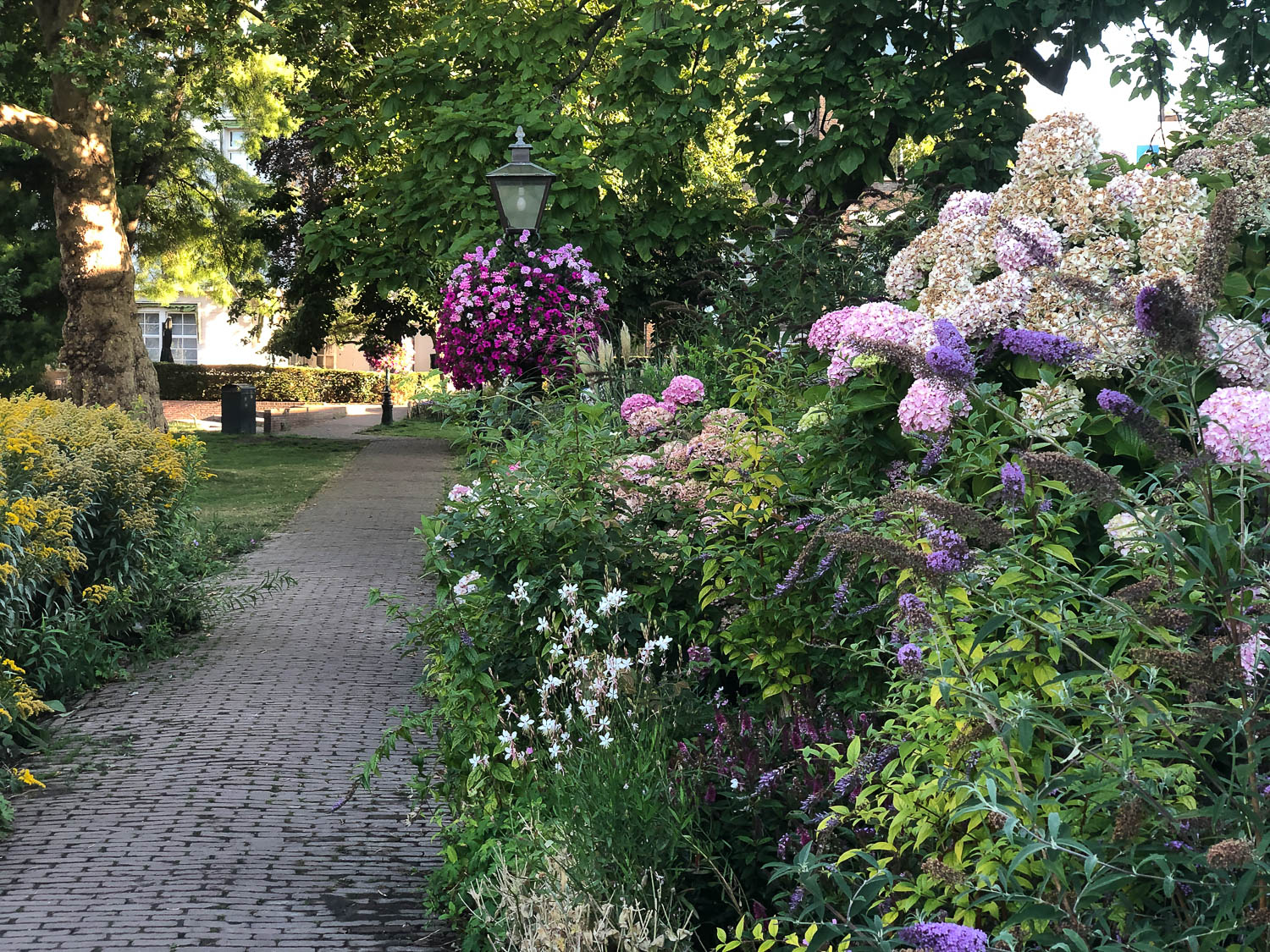
Van der Werfpark in Leiden
Huigpark in Leiden
Houtkamp in Leiderdorp
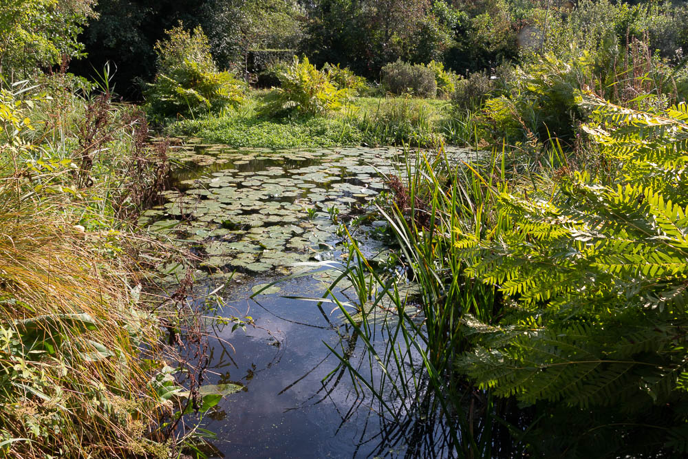
In this wildlife garden, it was chosen to create favorable conditions so that as many "wild plants" as possible can maintain themselves on their own by imitating different landscape types on a small scale and applying management adapted to this.
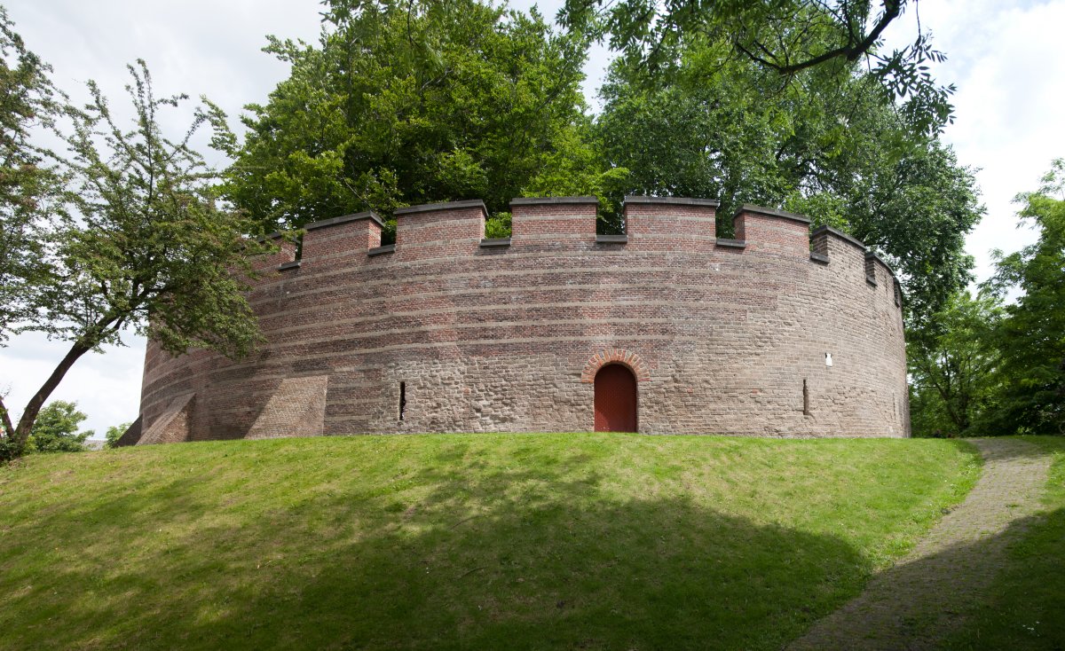
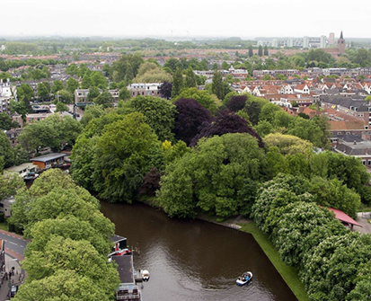
De Burcht in Leiden
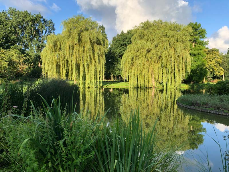
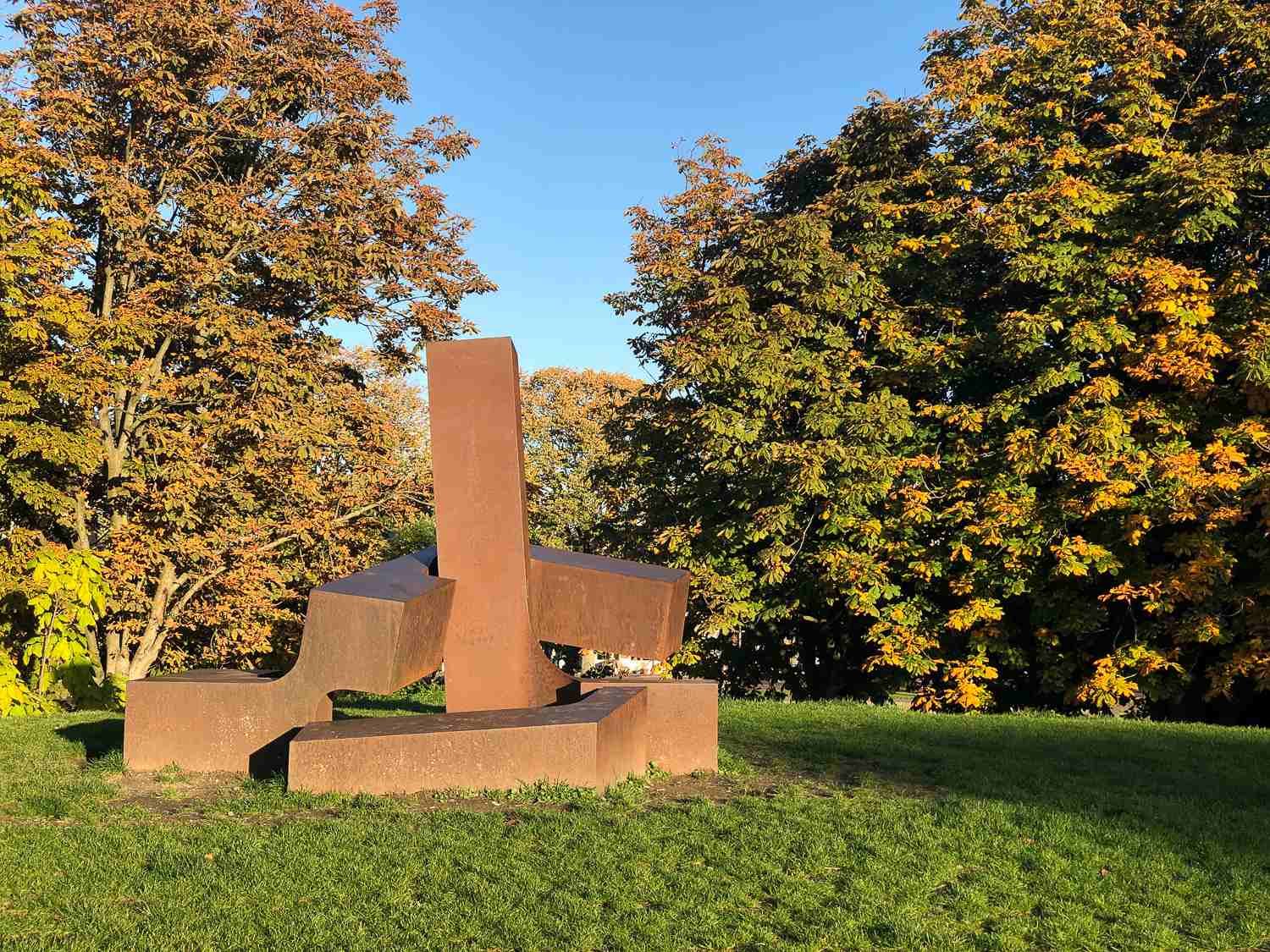
Plantsoen in Leiden
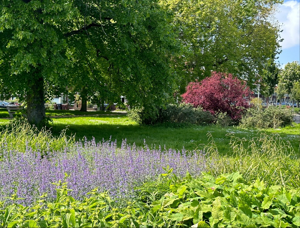
Rembrandtpark in Leiden
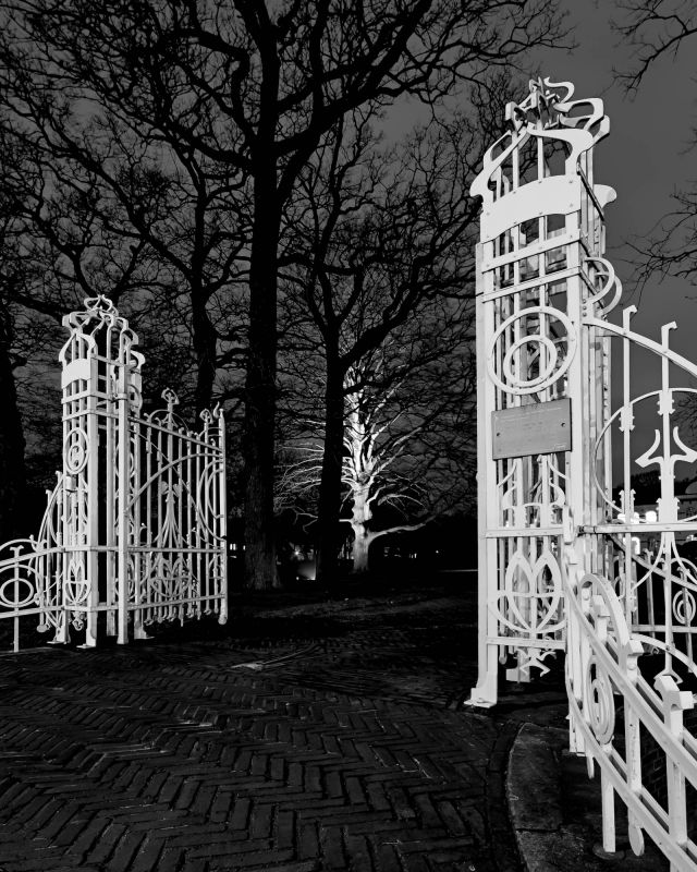
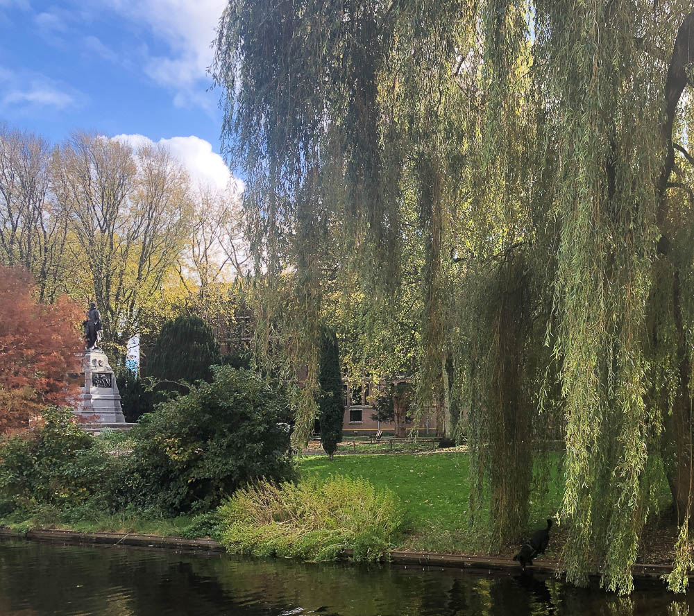
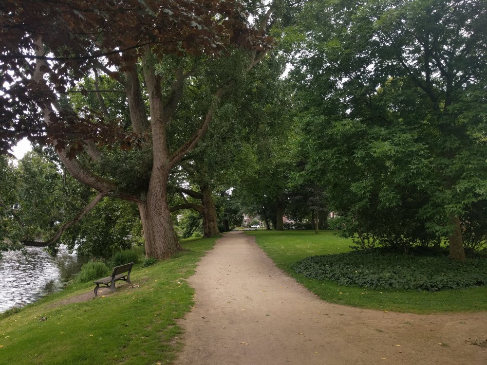
Ankerpark in Leiden
Dichtersbuurt (Poets' Neighborhood) in Lage Mors, Leiden
Food forest Okkerheide, Leiden
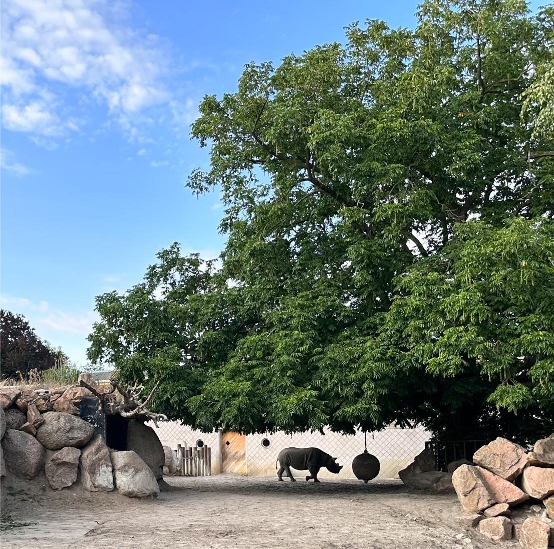
Zoo Blijdorp in Rotterdam

Hortus Botanicus in Leiden
 |
The garden includes the Clusius Garden, the Winter Garden, the Rosarium, the Von Siebold Memorial Garden, the Orangery, the Chinese Herb Garden, the Fern Garden, the System Garden and a tropical greenhouse complex, including the Victoria Greenhouse. In the hortus there are also sculptures and a Grand Café. |
Leiden University Medical Center
Much more about the greenery around the LUMC, including photos, can be found in Bee Advice Bio Science Park Leiden (2017) (in Dutch)
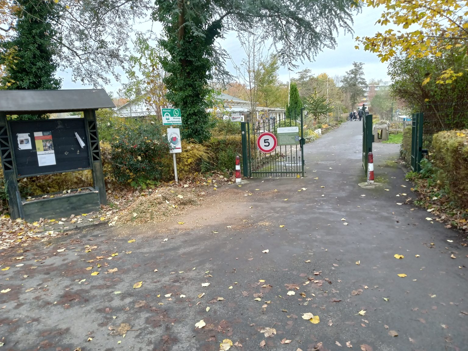
Garden association Ons Buiten
The tree map is still in development
The Garden association Ons Buiten, founded in 1957, it is located on Leiden's second Green Ring. The allotment complex (approximately 440 gardens) is surrounded by tall trees and bisected by a main road. The public can walk freely on paved paths. There is a diverse range of flora and fauna. Biodiversity rating: 4 dots (= maximum AVVN).Show photo credits